This is the most innovative, interactive and advanced software for processing and imaging of seismic data of any type and size
This is the easiest and most cost-effective solution for geological and geophysical interpretation
This is an universal viewer for any type of geophysical data. We are working on adding more formats and features
Geomage g-Platformâ„¢ provide processor with an interactive and graphical experience of working with seismic data.
The software has separate packages for Time and Depth imaging applications and modules that simplifies licensing to the domain you require to work in. Time imaging include all modules require to take seismic from field data to prestack time migration, the Depth imaging package include any additional modules needed for velocity model building thru anisotropic depth migration.
Geomage g-Spaceâ„¢ is a complete user-friendly and easy to learn geological interpretation software that allows thorough analysis of existing seismic and well data. It includes many graphical and interactive features that makes interpreter’s work more enjoyable, efficient and accurate. All that at most cost-effective pricing and world-class support.
Geomage g-Spaceâ„¢ software allows:
g-Viewerâ„¢ software designed to visualize multiple files in different formats. Current version includes:
This is testing ..add your youtube video here
Pakistan – Land data – Stack
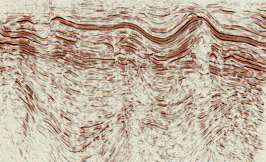
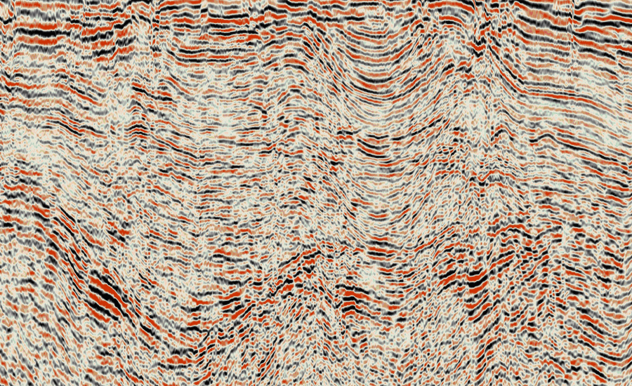
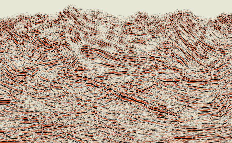
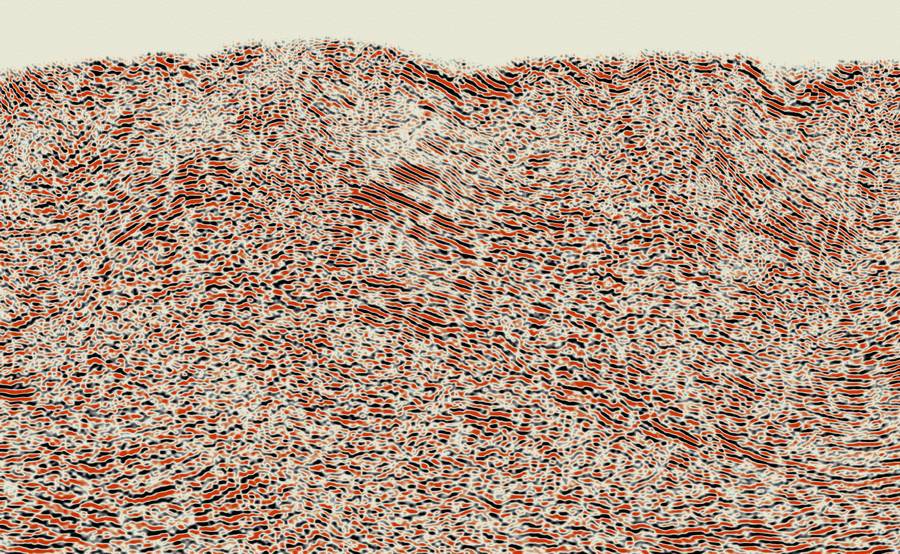
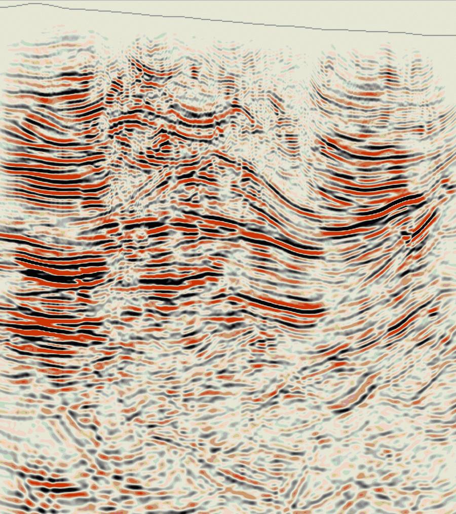
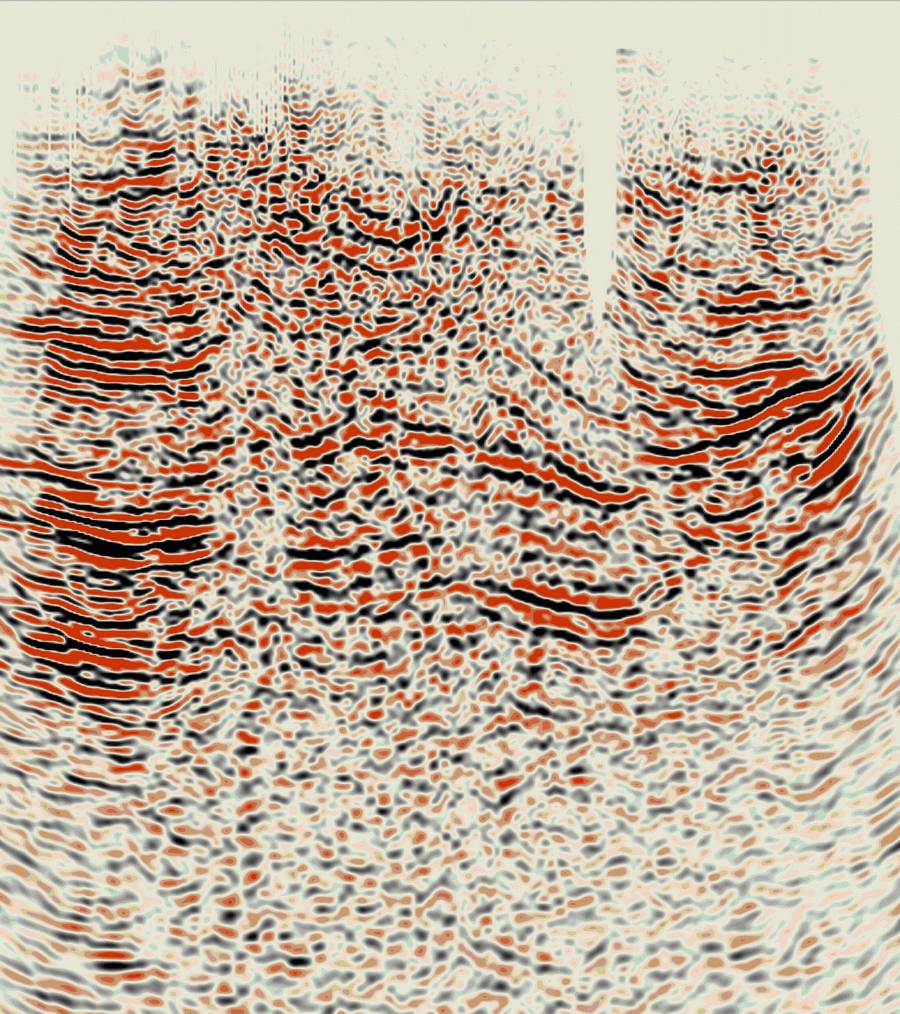
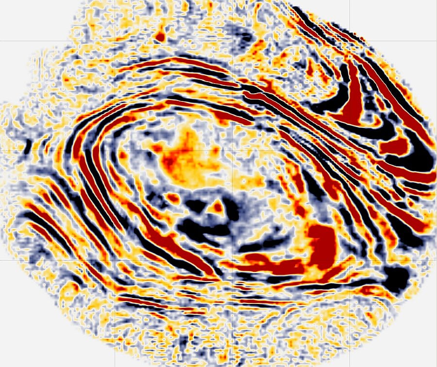
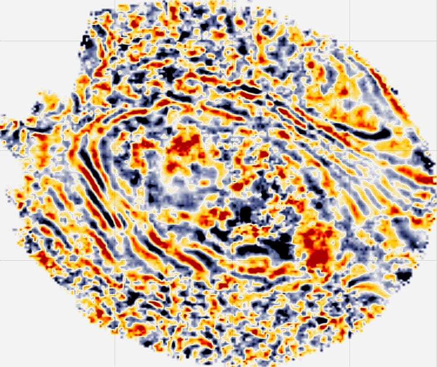
United states – California – Land data – PSTM
South California – Land data – PSTM
Canada – British Columbia – Land data – PSTM
Kazakhstan – Zaisan – Land data – PSDM in time
Canada – Alberta – Land data – Stack
Russia – Western siberia,Western Siberia – Land data – PSTM
Russia – Urall foothills – Land data – PSTM
Russia – East Siberia – Land data – Stack
Russia – Timano Pechora – Land data – PSTM
Kamchatka – Land data – Stack
Russia – Yakutia,Yakutia – Land data – Stack
China – Land data – PSTM
Uzbekistan – Land data – Post-STM
Gabon – Marine data – PSTM
Papua New Guinea