COMMON FEATURES INCLUDED IN All G-SPACE MODULES
-
DEMO project - [?]
-
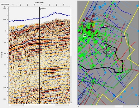
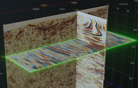
Import POST-stack seismic 2D/3D -
[?]
-
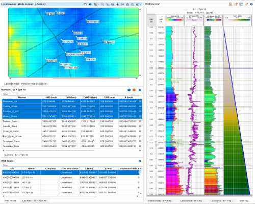
Import well data - [?]
- Import horizons, faults and grids
- Import shapefiles and cultural data
- Import geo-referenced image data
- CRS conversion
-
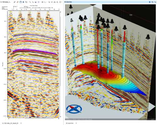
2D and 3D displays in time or depth -
[?]
-
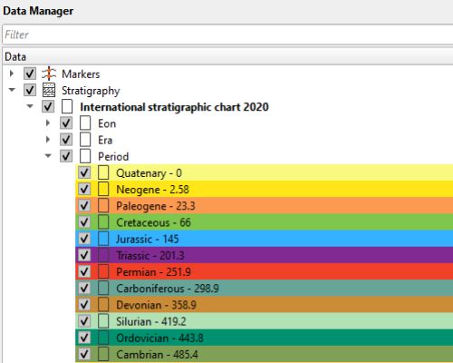
Built-in stratigraphic time scale -
[?]
-
Map calculator - [?]

-
Multi-user – available with two or more licenses:
- Centralized project management
- PostrgreSQL
- Revision history
- Monitored user access
Structural
$2500 / YEAR
- Horizon and fault picking
- Picking in time or depth
- 2D/3D arbitrary line
-
Well-tie workflow -
[?]

-
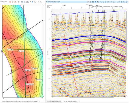
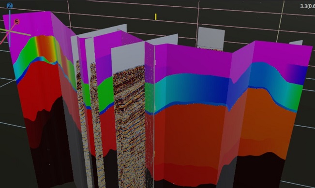
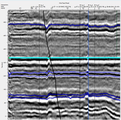
Mapping with faults -
[?]
-
Velocity model using horizons / checkshots / markers -
[?]
- Velocity model QC
- Depth conversion
-
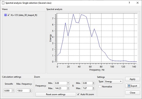
Spectral analysis -
[?]
-
Mis-tie workflow -
[?]
-
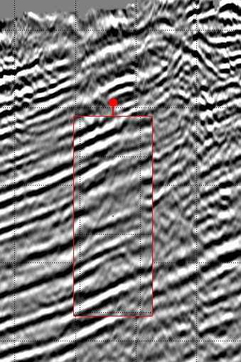
Seismic ghost view -
[?]
-
Flattening to horizon -
[?]
- Map calculator
Geological
$1500 / YEAR
-
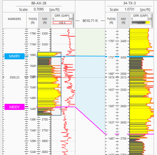
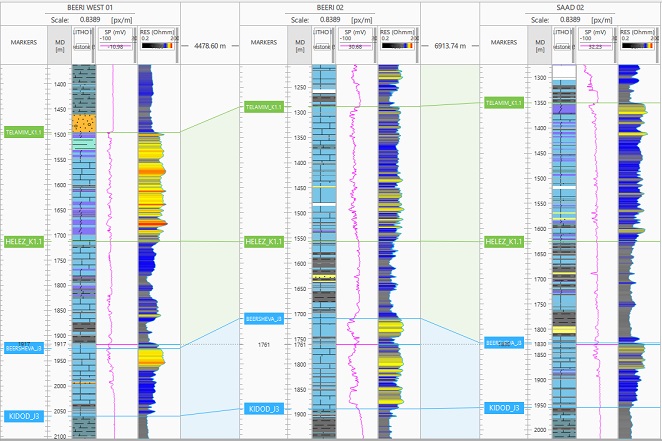
Well section visualization -
[?]

-
Advanced log data visualization -
[?]
-
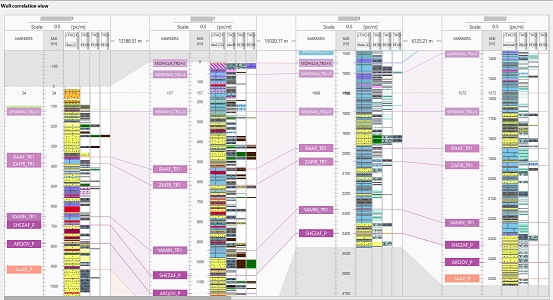
Well markers correlation -
[?]
- Log calculator
- Crossplot data analysis
- Well-log calculator
-
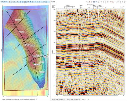
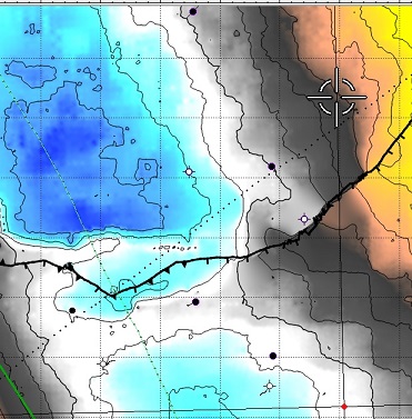
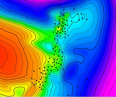
Advanced mapping -
[?]
- Lithology/discrete log visualization
-
Curve ghost view -
[?]
-
Flattening to marker/datum -
[?]
- Map editor tools
- Statistical analysis (cross-plot, histogram, stereonet, variogram charts)
- Geobody creation and import
Dynamic - [?]
Includes:
Structural &
Geological
Structural &
Geological
$9000 / YEAR
Includes Structural & Geological
- Import 2D/3D PRE-stack seismic
-
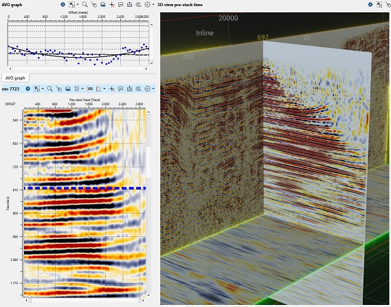
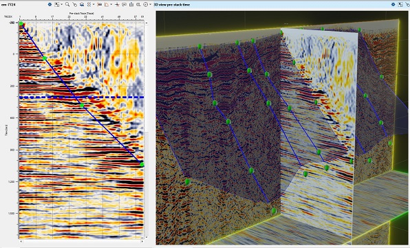
3D view for image gathers -
[?]
-
Image gather view -
[?]
-
Mute and stack of image gathers -
[?]
- Filtering of image gathers
- Attribute calculation
- AGC, gain, filtering (stacks and gathers)
- Pre-stack QC tools
- Processing tools (pre-stack, post-stack)
- AVO analysis
- Classic and AI assisted attributes
- Spectral decomposition
- Opacity mode for attributes
- Statistical tools
Reservoir - [?]
Includes:
Geological
Geological
$6500 / YEAR
Includes Geological
- 3D Static modeling
- 3D Gridding
- Petrophysical properties upscaling
- Well log propagation
- Volumetric calculation for GRV, Oil, Gas, and CO₂
- 3D structural framework modeling
- Seismic upscaling and gridding of interpreted attributes
- Stochastic algorithms
- Variogram-based spatial analysis
- Grid visualization tools
Petrophysical -
[?]
Includes:
Geological
Geological
$6500 / YEAR
Includes Geological
- QC, management and processing
- 3D Gridding
- Well database with mnemonics and metadata
- Curve and LAS file modes
- Log curve merging
- Depth shifting and smoothing
- Advanced log calculator
- Crossplots for correlation
- Histograms for distribution analysis
- Core, test and log overlays
- Filtering by markers or depth
- Variogram analysis
- Properties calculators
Total: 0$